Web Masters please use this button to link back to this site


The Campaign - The Landscape

See also Yannarie Creek Floods

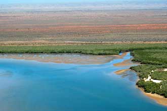
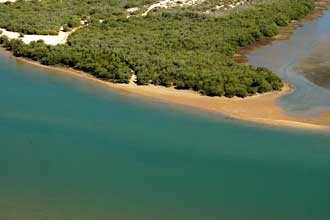
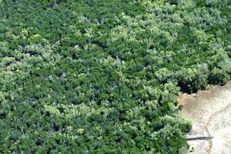
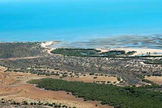
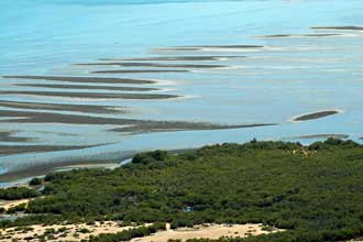
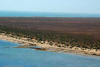
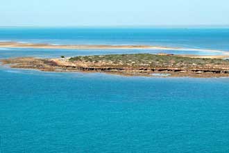
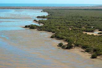
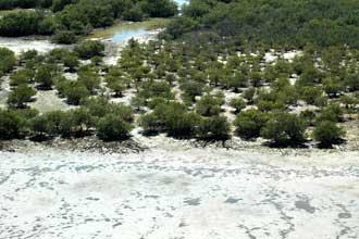
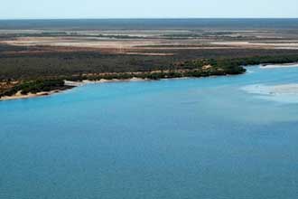
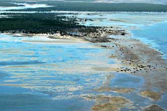
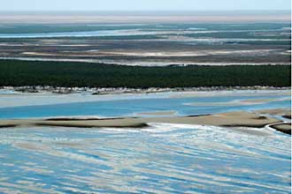
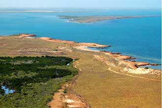
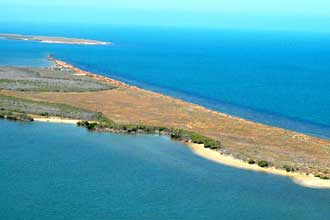
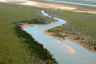
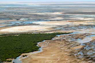
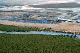
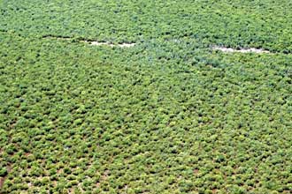
A selection of oblique aerial photographs of the landscapes of eastern Exmouth Gulf illustrating the complex processes operating in this active arid zone delta system.

These recently taken images clearly demonstrate the wonderful scenic and landscape qualities of the eastern Gulf; qualities that are at great risk from Straits Salts' proposal.

These scenes are typical of the full length of the eastern Gulf; a fragile wonderland of littoral values. The visitor by air or boat is simply overwhelmed by the both the intricacies of the close-up kaleidoscope and the overall untouched sense of place.

South to North:


Southern end of Gulf


Southern end of Gulf


Southern end of Gulf


Southern end of Gulf


Southern end of Gulf


Southern end of Gulf


Southern end of Gulf


Immediately adjacent to Straits Salts' proposed salt mine, North of Deans Ck


Immediately adjacent to Straits Salts' proposed salt mine.


Immediately adjacent to Straits Salts' proposed salt mine.


Immediately adjacent to Straits Salts' proposed salt mine.


Immediately adjacent to Straits Salts' proposed salt mine.


Immediately adjacent to Straits Salts' proposed salt mine.


Immediately adjacent to Straits Salts' proposed salt mine.


Immediately adjacent to Straits Salts' proposed salt mine.


Immediately adjacent to Straits Salts' proposed salt mine.


Immediately adjacent to Straits Salts' proposed salt mine.


Immediately adjacent to Straits Salts' proposed salt mine.

© Photographs courtesy Wags and Kelly

Videos

The Residents

World Heritage

Fisheries

Impact

Comments


Halt the Salt Campaign - Web Manager: Dave Graham, Web hosting: ozup.com Images copyright Wags and Kelly
Halt the Salt Privacy statement